
Ghost Woodlands
Restoring Scotland’s ancient woodlands
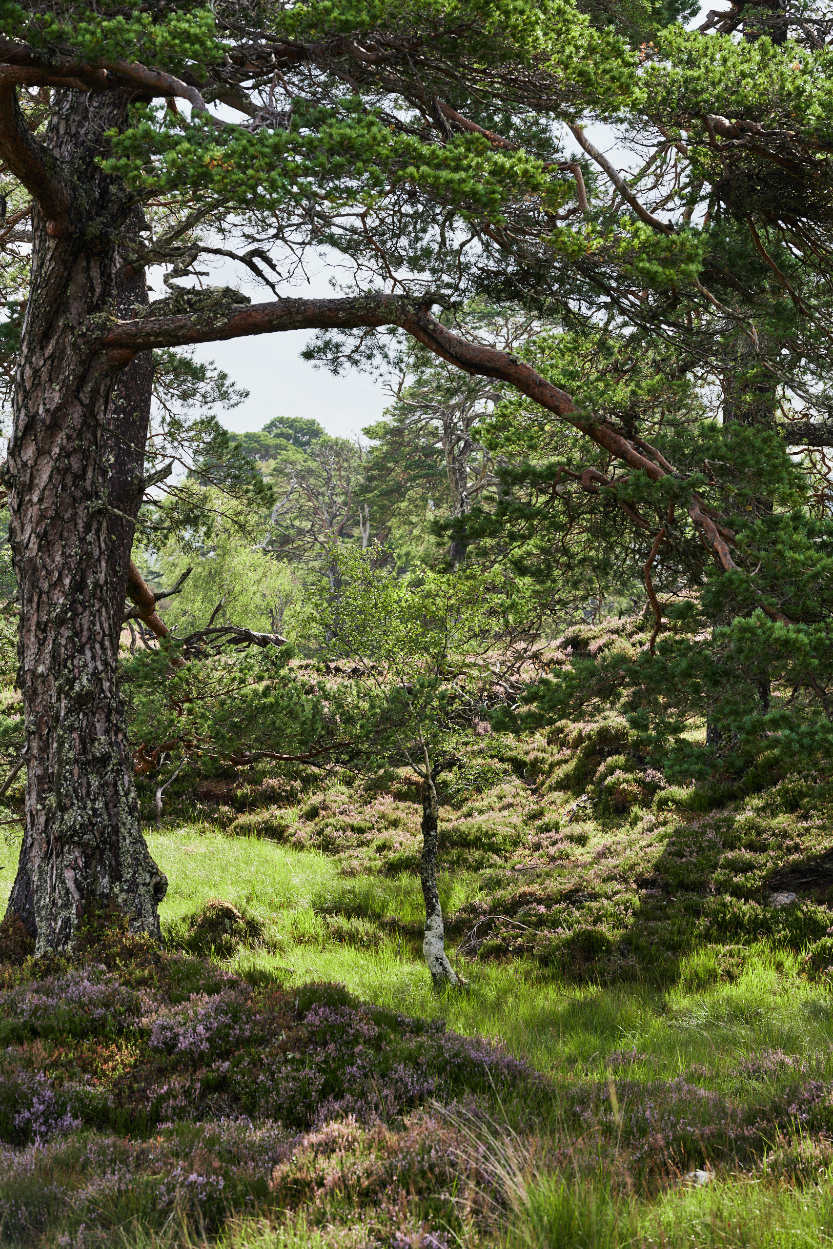
Ghost woodlands are some of Scotland’s most threatened types of ancient woodland. These once thriving sites have been reduced to fragments, with less than 20% of their original tree canopy remaining. Many are quite literally ‘dying on their feet’.
Without young trees to take their place – held back by decades of overgrazing – these precious habitats are fading. It’s estimated that the Scottish uplands may have already lost ancient woodland covering an area the size of Glasgow since the 1970s. Without intervention, ghost woodlands could be lost for good.
Despite their condition, ghost woodlands still hold significant ecological value. With the right action, they can be restored to support wildlife, biodiversity, and contribute to Scotland’s climate goals.
At Future Woodlands Scotland, restoring these fragmented ancient woodlands is a major priority. We’re leading a national programme to identify, support and restore these lost habitats, working closely with landowners and farmers across Scotland. If you’re looking to restore degraded native woodland on your land, we can help. We provide funding, advice and the practical support you need to create healthier, more resilient landscapes.
Funding and support available
We’ll work with you to assess your site, create a tailored restoration plan, and provide funding to reduce grazing pressure and restore tree cover through natural regeneration. Ongoing support is available throughout the restoration process.


How to get started
To determine if your land has ghost woodland, you can:
- review old maps from the National Library of Scotland
- look for signs of ghost woodland: canopy cover under 20%, heavy browsing and remnant ancient trees
- explore our interactive ghost woodland map
- check out the Ancient Woodland Inventory on Scotland’s Environment Map
- get in touch with our Project Manager, Kieran Leigh-Moy
Check for a ghost woodland on your land with our interactive mapping tool
How to use the tool
Our ghost woodland tool guide offers a best-effort view based on the data and resources available at the time of development. It’s intended as a helpful starting point for identifying areas of potential restoration, and we welcome further insights to refine it.
The map highlights ancient woodlands that may be at risk of being lost forever, offering a valuable resource for those looking to protect and restore these threatened habitats.
- Search: The tool is searchable using longitude and latitude coordinates. If you have British National Grid References, you’ll need to convert them using tools like Grid Reference Finder.
- Additional data: Shapefiles and details of the methodology used to create the map are available upon request.
If you own or manage a woodland shown on the map and would like support to restore it, please contact us at: [email protected].
Latest Ghost Woodlands stories


Ghost Woodlands projects
Loch Lomond, Auchmar | Recovering 22 hectares of ancient woodland
During our site visit to assess the 7 hectare woodland creation proposal, our team discovered an exciting opportunity to expand a 22-hectare area of ancient woodland by excluding cattle and sheep. This unique ghost woodland scheme features scattered, relatively young yet mature trees, setting it apart from other projects we’ve funded. It lies adjacent to […]
Learn MoreInvermallie | Recovering 34 hectares of ancient Caledonian pinewood
We are excited to support the restoration of 34 hectares of ancient Caledonian pinewood—one of Scotland’s rarest habitats, with only 84 fragments remaining. The site has already been assessed by Trees for Life as part of their Wild Pine project, and it features some remnant Scots pine among the birch and oak. Although the existing […]
Learn MoreGlen Mallie | Restoring 212 hectares of ancient Caledonian pinewood
Mapped as ‘An Giubhsach’– meaning ‘pine’ – on the Forgotten Woodlands database, the Glen Mallie Pinewood Restoration project will help protect one of the last remaining fragments of native Caledonian pinewood. In 2023, surveys by Future Woodlands found that there is natural regeneration present, following the woodland’s 1876 boundaries, but is being prevented from establishing […]
Learn MoreBlack Corries, Allt Giubhais | Restoring 44 hectares of ghost woodland
Allt Guibhais is a 44 hectare ghost woodland project near the iconic Devil’s Staircase of the West Highland Way. The area is adjacent to the Leven Valley SSSI on the north-western boundary of Black Corries Estate, above the village of Kinlochleven in Lochaber. There was good evidence of historic woodland cover to be found on […]
Learn MoreGlen Laudale (west) | Extending the Loch Sunart native woodland habitat
This project offered an opportunity to secure and enhance the biodiversity resource within surrounding ancient woodland fragments and PAWS, by increasing connectivity and creating new habitats for ancient woodland specialists to colonise over time. Future Woodland Scotland visited the site in 2022 to assess the new woodland creation scheme and noted the evidence of advance […]
Learn MoreCeannacroc (east) | 93 ha restoration project
We have worked with the landowner of this estate since 2022 to support their woodland creation and 93 hectare ghost woodland restoration projects that will increase habitat connectivity and enhance biodiversity, whilst providing the landowner with alternatives to sheep farming. Ceannacroc has its own registered seed source with native Scots pine seed being harvested, the […]
Learn MoreContact us
If you have any questions about Ghost woodlands, please contact Kieran Leigh-Moy, Project Manager
[email protected] or visit the Contact us page for more information.

You can play a role in protecting, creating and restoring Scotland’s woodlands
Become a Business Partner